Veris Technologies 3100 Soil EC Mapping System (1997-2008 floppy disk drive 1.76G) - Operating Instructions User Manual
Page 15
Veris Technologies
Pub. #OM 1CM02-1
15
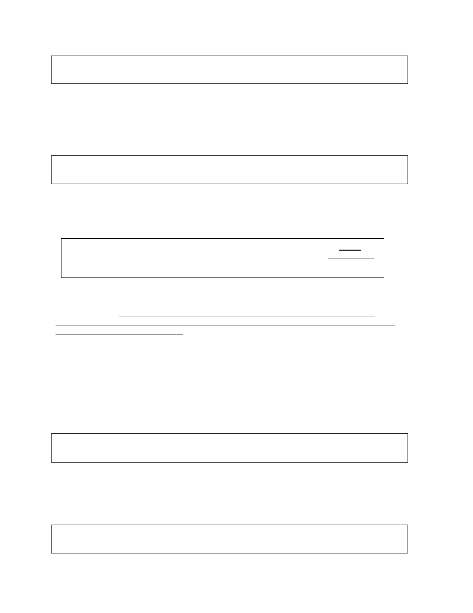
1. Begin data acquisition
2. Conductivity Output Only
3. Quit
Meaning: The unit is asking whether you’re ready to start mapping.
Choices: If you press 1, you’ve initiated the beginning of a map file. Command #2 is for sending a
data string to a second data-logging device. (The conductivity output format is 9600 baud, 8 data bits,
no parity and 1 stop bit. A null modem adapter is required.) If you press 3, the system will tell you it’s
ok to shut off power.
Creating file #_______________
Press any key to start (Any key to stop)
Meaning: The unit is letting you know the name of the map file it is creating, in case you want to
record it along with any other information about the field.
Choice: Press any key to begin new map file (after starting the file, pressing any key will stop the file)
DGPS
Lat _____________
Shallow_________________
Long____________
Deep _________________
Meaning: The unit is telling you the latitude and longitude of your position, the conductivity of the
top 1’ and top 3’ of the soil, relative elevation, and whether you have GPS or DGPS (differentially
corrected) signal. The system does not record: 1) any conductivity point that isn’t DGPS geo-
referenced, 2) any point that has negative numbers in both the shallow and deep arrays, and 3) any
data when the machine is not moving.
There are warning signals programmed into the Veris instrument to warn the operator that one or
more of these conditions exist, so that corrective action can be taken. If any of these conditions exist,
a warning alarm will sound, and the portion of the screen text that is missing information will blink.
For example, if the DGPS isn’t being received (or the NMEA string containing speed) the Lat/Long
text will blink.
Choices: At any time during the mapping process, you can press any key to stop the file. If you
create more than one file from the same field, you can bring the files into a spreadsheet program and
combine them prior to mapping.
Downloading a file…
File # _____(date) (time)
Press any key to see options
Meaning: The unit is telling you that you have finished creating a file, along with the date and time it
was completed.
Choices: Pressing any key will bring up the next window. You may also shut the power off at this
point.
#______
(1) Download to disk
(3) Keep File
(2) Delete file
(4) Exit File Manager
DGPS
Lat _______________
Shallow: _________________ Relative elev.
Long ______________
Deep: _________________