5 transformations, Coordinate transformation, Transformation – Leica Geosystems GPS Basics User Manual
Page 31: Geodetic aspects
31
GPS Basics -1.0.0en
Geodetic Aspects
4.5 Transformations
The purpose of a transformation is to
transform coordinates from one system
to another.
Several different Transformation ap-
proaches exist. The one that you use will
depend on the results you require.
The basic field procedure for determina-
tion of transformation parameters is the
same no matter which approach is
taken.
Firstly, coordinates must be available in
both coordinate systems (i.e. in WGS84
and in the local system) for at least three
(and preferably four) common points.
The more common points you include in
the transformation, the more opportunity
you have for redundancy and error
checking.
Common points are achieved by mea-
suring points with GPS, where the
coordinates and orthometric heights are
known in the local system, (e.g. existing
control points).
The transformation parameters can then
be calculated using one of the transfor-
mation approaches.
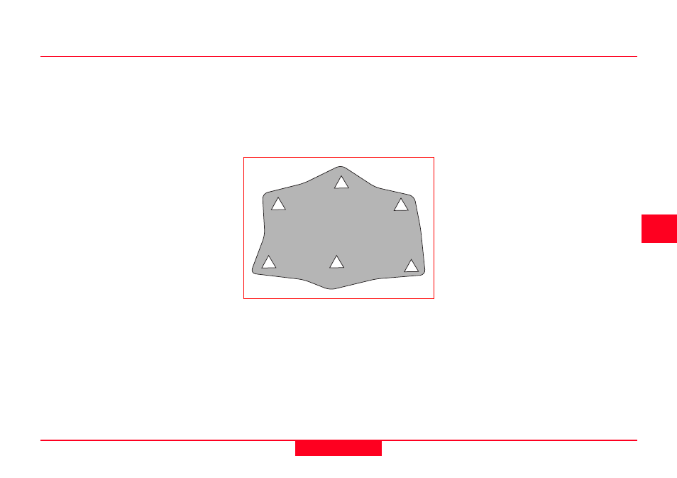
It is important to note that the transfor-
mation will only apply to points in the
area bounded by the common points.
Points outside of this area should not be
transformed using the calculated
parameters but should form part of a
new transformation area.
Transformations apply within an area of
common points