1 introduction, Geodetic aspects – Leica Geosystems GPS Basics User Manual
Page 27
27
GPS Basics -1.0.0en
Geodetic Aspects
4.1 Introduction
Determining a position with GPS
achieves a fundamental goal of Geodesy
- the determination of absolute position
with uniform accuracy at all points on the
earths surface. Using classical geodetic
and surveying techniques, determination
of position is always relative to the
starting points of the survey, with the
accuracy achieved being dependent on
the distance from this point. GPS
therefore, offers a significant advantage
over conventional techniques.
The science of Geodesy is basic to GPS,
and, conversely, GPS has become a
major tool in Geodesy. This is evident if
we look at the aims of Geodesy:
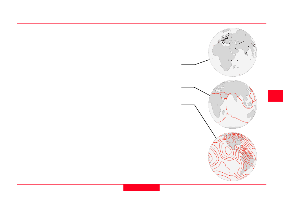
1. Establishment and maintenance of
national and global three-dimensional
geodetic control networks on land,
recognizing the time-varying nature of
these networks due to plate movement.
2. Measurement and representation of
geodynamic phenomena (polar motion,
earth tides, and crustal motion).
3. Determination of the gravity field of the
earth including temporal variations.
Although most users may never carry out
any of the above tasks, it is essential that
users of GPS equipment have a general
understanding of Geodesy.