3 local coordinate systems, Local, Geodetic aspects – Leica Geosystems GPS Basics User Manual
Page 29
29
GPS Basics -1.0.0en
Geodetic Aspects
4.3 Local coordinate systems
Just as with GPS coordinates, local
coordinates or coordinates used in a
particular countrys maps are based on
a local ellipsoid, designed to match the
geoid (see section 4.4) in the area.
Usually, these coordinates will have
been projected onto a plane surface to
provide grid coordinates (see section
4.5).
The ellipsoids used in most local
coordinate systems throughout the world
were first defined many years ago,
before the advent of space techniques.
These ellipsoids tend to fit the area of
interest well but could not be applied to
other areas of the earth. Hence, each
country defined a mapping system/
reference frame based on a local
ellipsoid.
When using GPS, the coordinates of the
calculated positions are based on the
WGS84 ellipsoid. Existing coordinates
are usually in a local coordinate system
and therefore the GPS coordinates have
to be transformed into this local system.
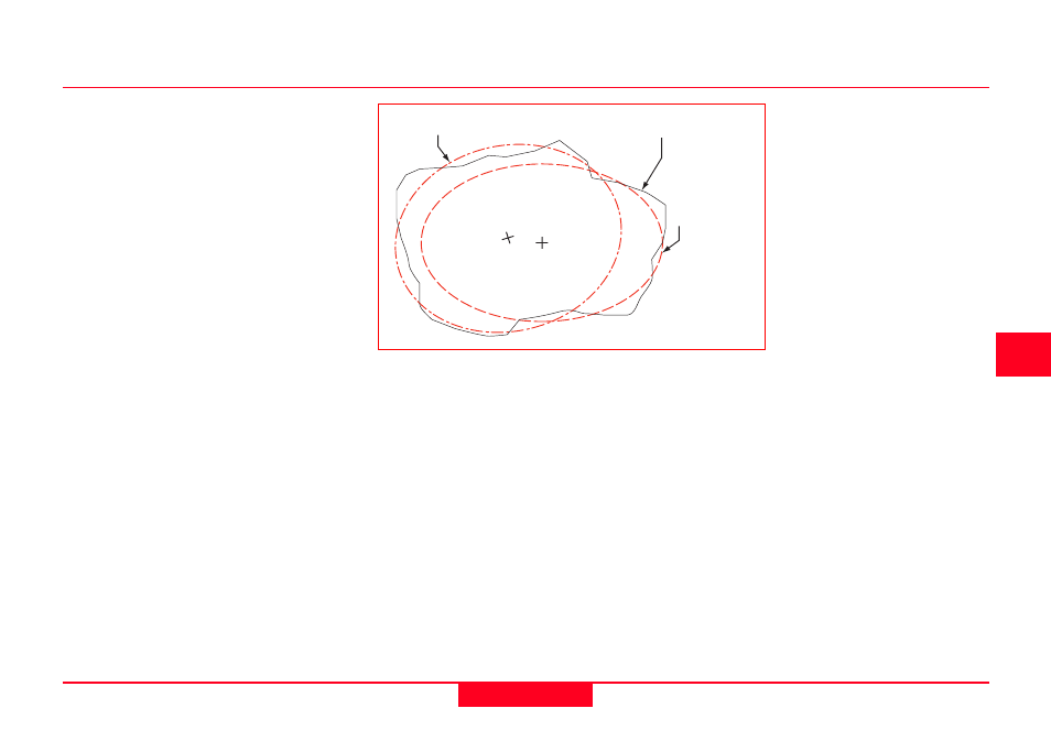
WGS84 Ellipsoid
Earth's Surface
(topography)
Local Ellipsoid
The relationship between ellipsoids
and the earths surface