AvMap EKP V User Manual User Manual
Page 11
Aeronautical Navigator
AvMap EKPV
10
- Quick Manual
Aeronautical Navigator
AvMap EKPV
Quick Manual -
11
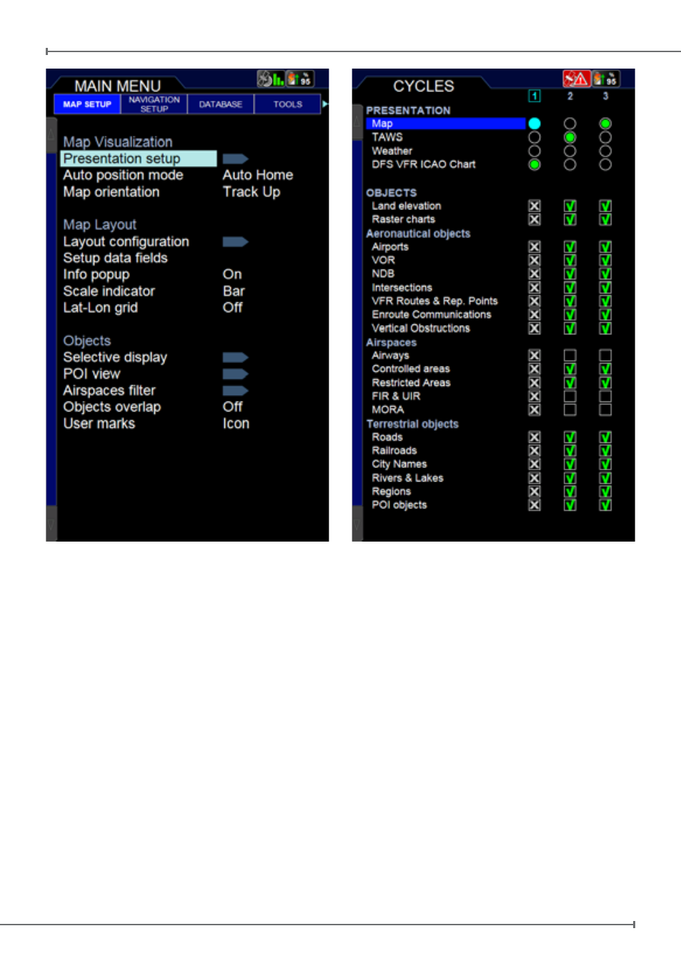
is a very powerful feature that uses the
separation between the aircraft and the
land elevation to highlight the dangerous
land elevations, allowing the map to be
more easily and readily interpreted. To
enable TAWS function, Land Elevation
needs to be enabled in “objects” . TAWS
has two settings: 500 feet Separation and
1000 feet Separation. The colour shading
is based on Obstacle Clearance Height
(OCH). In case of 1000 feet SEP setting
all terrain with an OCH value under 1000
feet are highlighted in red, while a 500
feet SEP highlights all terrain with an
OCH value under 500 feet.
-
Weather (only available in North
America and Canada with XM WX
Weather service):
See chapter “14. Tools” for more
information.
-
Sectional Charts:
Only visible in the presentation menu if
Sectional Charts are installed on your
EKP V.
Auto position Mode
Auto Home
The Auto Home mode is used to keep the fix
position within the visible map. The map is
scrolled and redrawn automatically as your
position moves. A slow flashing airplane
icon will indicate your current position. The
airplane will be pointing in the direction of
movement. Auto Home can display the
map in North Up, Leg Up or Track Up. To
deactivate Auto home mode press ‘ESC’
activating the cursor at the previous position