Following an automobile route, Following an automobile, Route – Garmin nuLink! 2390 User Manual
Page 31: Map pages
Map Pages
nüLink! 2300 Series Owner’s Manual
25
Map Pages
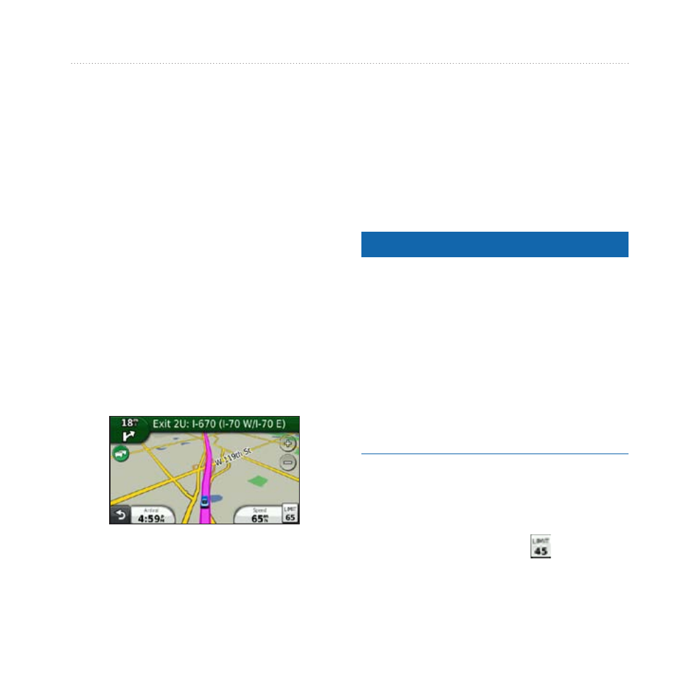
Following an Automobile
Route
The route is marked with a magenta
line. A checkered flag marks your
destination.
As you travel, the device guides you
to the destination with voice prompts,
arrows on the map, and directions
at the top of the map. If you depart
from the original route, the device
recalculates the route and provides new
directions.
Changing the Map Data Field
1. From the map, touch the data field
in the lower left-hand corner.
2. Select a type of data to display.
3. Touch Save.
Updating Speed Limits
Notice
The speed limit icon feature is for
information only and does not replace
the driver’s responsibility to abide
by all posted speed limit signs and to
use safe driving judgment at all times.
Garmin will not be responsible for
any traffic fines or citations that you
may receive for failing to follow all
applicable traffic laws and signs.
An icon displaying the current speed
limit may appear as you travel on
major roadways.
1. From the map, select > Set
Speed Limit.