Using 2d and 3d charts together, Declutter – Raymarine Platinum Chart Card User Manual
Page 24
20
Navionics Platinum Chart Card - User’s Guide
Declutter
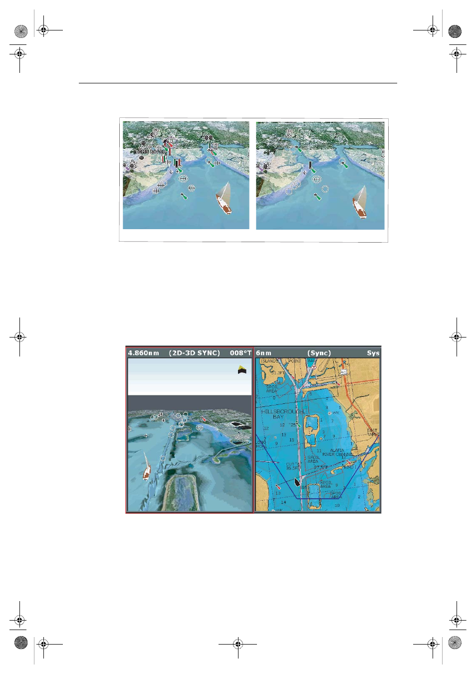
Navigating in an area that shows a lot of information on the chart, such as navigation
marks, can be confusing. Depending on your chart view level it can make features or
even your position difficult to see. Declutter helps you to reduce this confusion and
make the chart clearer, by removing some objects from view.
Declutter is accessed via the PRESENTATION soft key sub-menu.
Using 2D and 3D charts together
If the area in which you are navigating is unfamiliar, or visibility is poor, working with
2D and 3D chart applications on the screen side-by-side can give you extra confidence
and help you find out what is around you.
Declutter ON
Declutter OFF
D8060_1
D8062_1
81259_1_NGC.book Page 20 Wednesday, July 27, 2005 11:51 AM
- RAYTHEON E32001 (13 pages)
- RAYCHART 420 (101 pages)
- L365 (83 pages)
- SR50 (48 pages)
- A65 (100 pages)
- RS12 (50 pages)
- DSM300 (82 pages)
- NMEA Multiplexer (16 pages)
- Pathfinder (111 pages)
- Pathfinder Radar (244 pages)
- autopilot control unit (111 pages)
- VolvoPenta IPS Autopilot System DPU (16 pages)
- autopilot + ST4000+ (145 pages)
- stand-alone master instrument (45 pages)
- ST80 (15 pages)
- Raystar 125 (8 pages)
- RS12 (38 pages)
- ST6001 (48 pages)
- Pathfinder Radar Scanners (66 pages)
- Chartplotter (101 pages)
- Heading Sensor (24 pages)
- Ray430 (54 pages)
- Viewable Marine Displays (38 pages)
- Marine GPS System (188 pages)
- C Series (244 pages)
- ST8001 (48 pages)
- hsb2 PLUS Series (246 pages)
- 631 PLUS (170 pages)
- navigation system (17 pages)
- ST8002 (48 pages)
- PowerPilot (18 pages)
- ST7002 (52 pages)
- GPS Kit (24 pages)
- 465 (107 pages)
- Ray54E (116 pages)
- GPS Plotter (131 pages)
- GPS navigation (75 pages)
- ST7001 (48 pages)
- 300 (136 pages)
- Raystar 120 (30 pages)
- autopilot (137 pages)
- DSM30 (34 pages)
- ST6002 (56 pages)
- 320 (139 pages)