Panoramic photos – Raymarine Platinum Chart Card User Manual
Page 11
2D Chart Enhancements
7
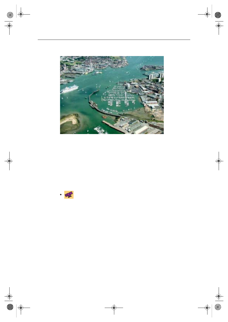
Panoramic photos
You can display a panoramic photo(s) of many ports and marinas. The availability of
photos is indicated by a camera symbol on the chart. This symbol is placed where the
photo was taken and the angle of the shot is indicated by the camera symbol. You can
also view the photo from the port services information.
To display a panoramic photo, either:
• Select the appropriate port symbol and then the panoramic photos option. Press
VIEW PHOTO.
Or:
D7925_1
D8069_1
Select the appropriate camera icon and press
VIEW PHOTO
.
81259_1_NGC.book Page 7 Wednesday, July 27, 2005 11:51 AM
See also other documents in the category Raymarine GPS receiver:
- RAYTHEON E32001 (13 pages)
- RAYCHART 420 (101 pages)
- L365 (83 pages)
- SR50 (48 pages)
- A65 (100 pages)
- RS12 (50 pages)
- DSM300 (82 pages)
- NMEA Multiplexer (16 pages)
- Pathfinder (111 pages)
- Pathfinder Radar (244 pages)
- autopilot control unit (111 pages)
- VolvoPenta IPS Autopilot System DPU (16 pages)
- autopilot + ST4000+ (145 pages)
- stand-alone master instrument (45 pages)
- ST80 (15 pages)
- Raystar 125 (8 pages)
- RS12 (38 pages)
- ST6001 (48 pages)
- Pathfinder Radar Scanners (66 pages)
- Chartplotter (101 pages)
- Heading Sensor (24 pages)
- Ray430 (54 pages)
- Viewable Marine Displays (38 pages)
- Marine GPS System (188 pages)
- C Series (244 pages)
- ST8001 (48 pages)
- hsb2 PLUS Series (246 pages)
- 631 PLUS (170 pages)
- navigation system (17 pages)
- ST8002 (48 pages)
- PowerPilot (18 pages)
- ST7002 (52 pages)
- GPS Kit (24 pages)
- 465 (107 pages)
- Ray54E (116 pages)
- GPS Plotter (131 pages)
- GPS navigation (75 pages)
- ST7001 (48 pages)
- 300 (136 pages)
- Raystar 120 (30 pages)
- autopilot (137 pages)
- DSM30 (34 pages)
- ST6002 (56 pages)
- 320 (139 pages)