3 traffic information service (tis), Tis symbology, Hazard avoidance – Garmin aera 500 User Manual
Page 113
Garmin aera 500 Series Pilot’s Guide
190-01117-02 Rev. A
101
hazard avoidance
Overview
GPS Navigation
Flight Planning
Hazar
d
Avoidance
Additional F
eatur
es
Appendices
Index
4.3 traFFic iNFOrMatiON Service (tiS)
NOte: Refer to Appendix F for general information regarding TIS. Refer to
Appendix D for configuration information.
The aera supports TIS input from a Garmin Mode S transponder, such as the GTX
330.
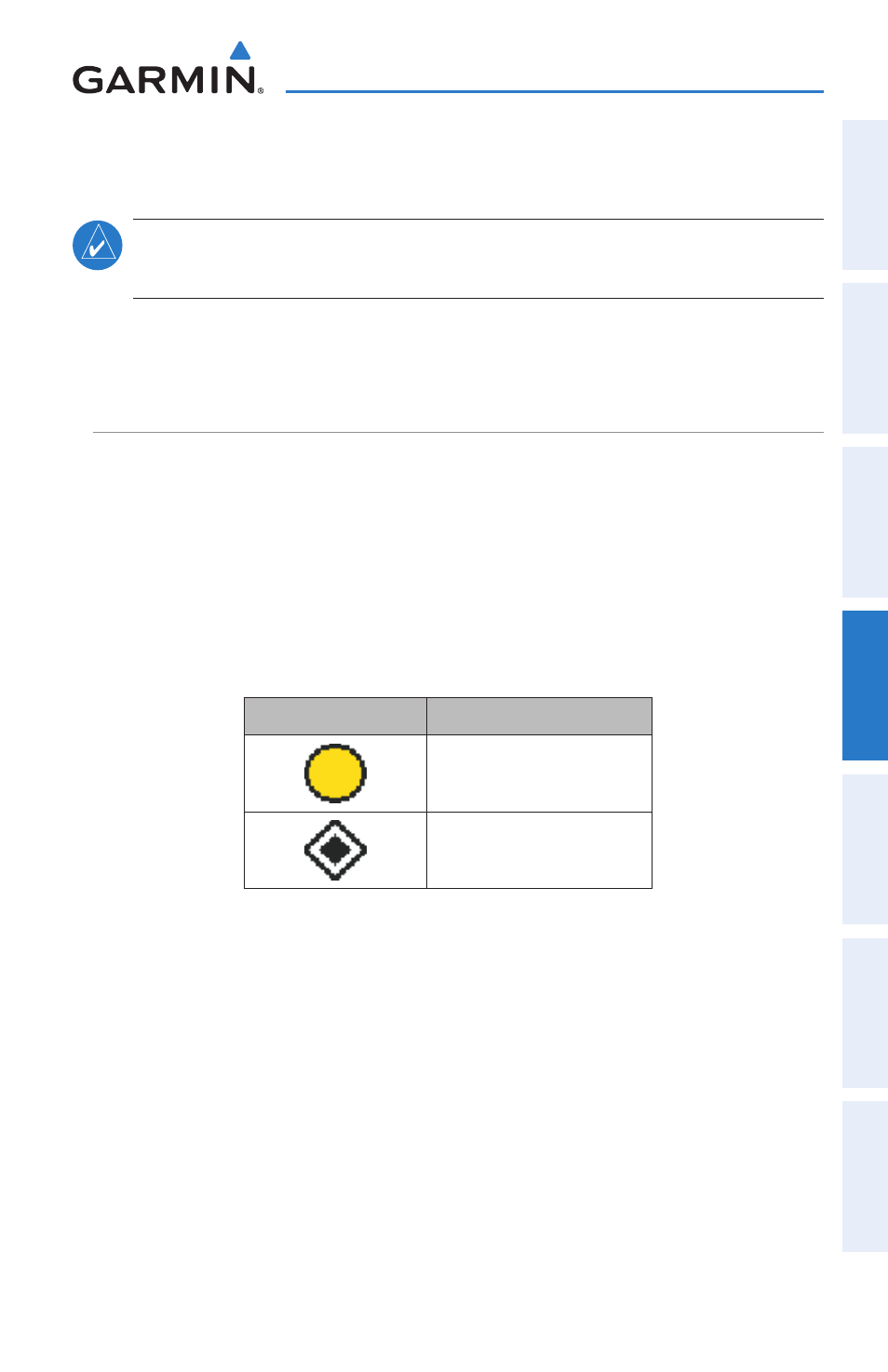
tiS SyMBOlOGy
TIS traffic is shown according to TCAS symbology, graphically shown on the
Navigation Map, and in the Traffic Warning Window. A Traffic Advisory (TA) symbol
appears as a solid yellow circle. All other traffic is shown as a hollow white diamond.
Altitude deviation from own aircraft altitude is shown above the target symbol if traffic
is above own aircraft altitude, and below the symbol if they are below own aircraft
altitude. Altitude trend is shown as an up arrow (>+500 ft/min), down arrow (<-500
ft/min), or no symbol if less than 500 ft/min rate in either direction.
TIS Symbol
description
Traffic Advisory (TA)
Other Traffic
TIS Traffic Symbols