View enroute weather – Jeppesen FliteDeck Pro (iOS) User Manual
Page 44
Viewing Enroute Map Information
View Enroute Weather
October 2014
Jeppesen FliteDeck Pro User Guide
Copyright © 2014 Jeppesen. All rights reserved.
37
All of the notes provided on precomposed paper charts are
available:
• Operational: Tactically important information regarding
specific navigation elements. These notes are equivalent to
Ball Flag notes on paper charts and are indicated visually on
the enroute map by blue "i" icons. You can also access
operational notes directly from the enroute map by tapping,
holding, and then releasing the associated blue icons.
• Regional: Procedures, conditions, or requirements for a
specific geographical region. These notes are equivalent to
Floating notes on paper charts.
• Reference: Aeronautical reference information for large
charted areas. These notes are equivalent to End Panel notes
on paper charts.
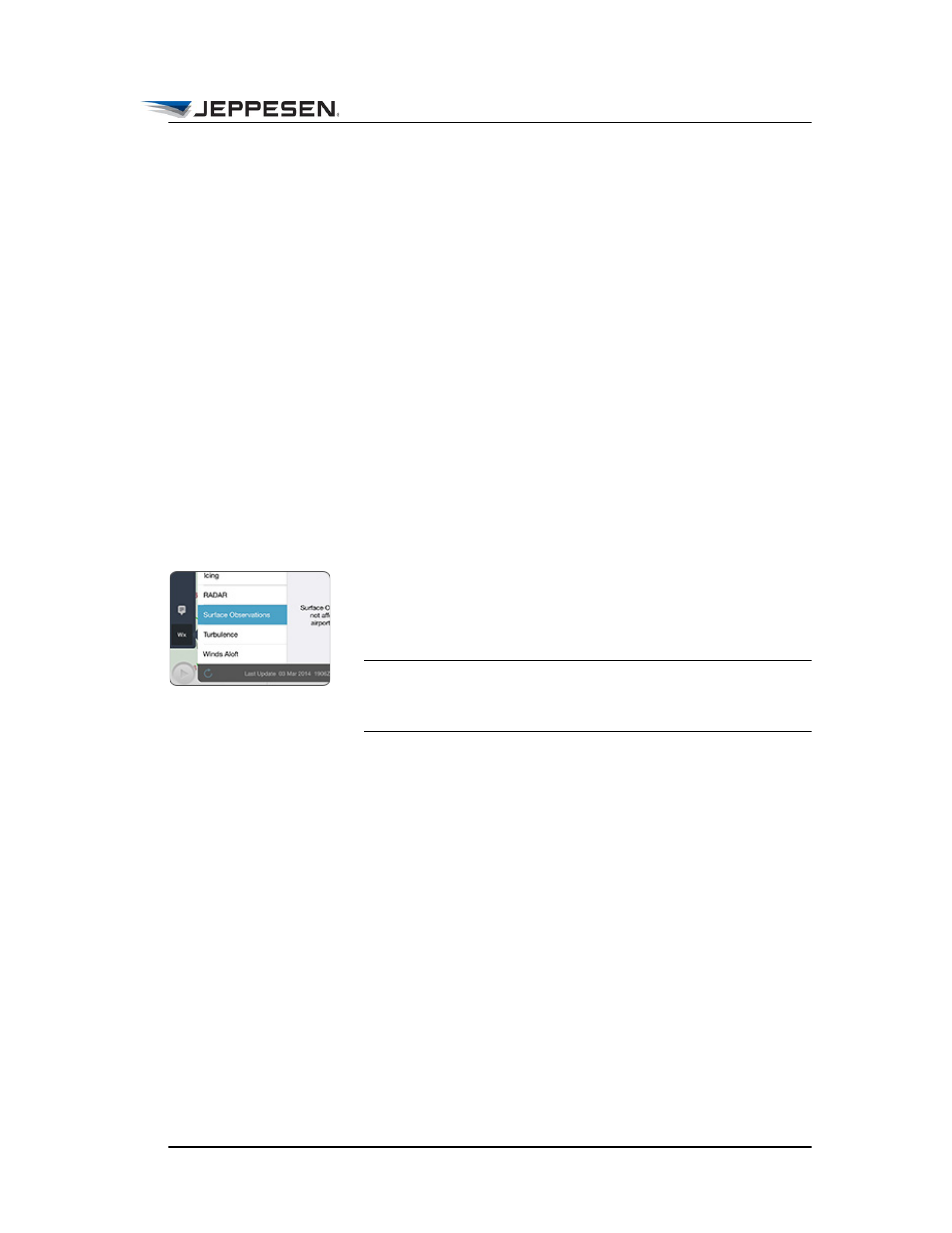
View Enroute Weather
Weather data is provided by Jeppesen weather services and is
obtained from either the National Weather Service or the UK
Meteorological Office.
NOTE To receive enroute weather data, Display Enroute Wx
must be set to ON in JeppFD-Pro global settings and an
Internet connection must be established.
To view enroute weather:
1. Tap the Wx button.
2. Switch Weather to ON.
3. Tap the weather type that you want to view.
Enroute weather includes surface observations, RADAR
(NEXRAD, echo tops, and lightning), and icing, turbulence, and
winds aloft forecasts.