Direction finding – Atec Narda-IDA-3106 User Manual
Page 4
Direction Finding
(requires Narda directional antennas)
Manual Bearing
Direction finding using Manual Bearing
Once the signals of interest have been identified, bar graph and
numerical representation of the signal level make it easy to
determine the direction (maximum level). Alongside the screen
information, an audible tone dependent on field strength is available
to enable location of hot spots without looking at the monitor. The
current antenna orientation is displayed on the IDA screen, and is
updated continuously with the aid of an embedded electronic
compass. Supplemented by the position measured by the
integrated GPS receiver, this provides ideal support for classical
direction finding.
Horizontal Scan
Horizontal Scan provides accurate and automatic determination of
the azimuth of the targeted emitter. For each frequency of interest a
scan is started and stopped by pushbutton on the antenna handle,
with the antenna being smoothly rotated horizontally during the
scan. A transmitter table of frequencies can be created to simplify
and speed up scanning of multiple signals.
Horizontal scan is a quick direction finding tool
The measurement results of a horizontal antenna scan are shown in
a polar diagram. Based on this information, IDA calculates the most
likely direction of the emitter. Continuous or discrete point scans
can be performed. Audio indication helps to keep the antenna
levelled to avoid polarization or elevation errors. As soon as the
scan result has been saved, SmartDF handles further processing.
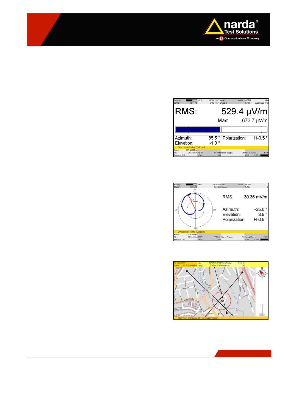
SmartDF
Localization can be performed by triangulation from at least two
direction-finding results. An additional estimation of the distance to
the emitter can be made by considering the signal attenuation vs.
distance. The SmartDF algorithm determines latitude and longitude
of the targeted emitter based on the saved Horizontal Scan or
Manual Bearing results. Positions and directions are displayed as a
graph, underlaid with an optional map. No more need for paper
maps, compass and pencil. For indoor use (e.g. in conference
rooms) SmartDF supplies an editable room plan display.
Optional maps support localization of an emitter
NSTS 0911-E0280B
4 / 14
Subject to change without notice