On-screen navigation icons, Navigation menu options – Telenav for T-Mobile Supported Devices: v6.2 for BlackBerry devices User Manual
Page 30
On-Screen Navigation Icons
The following table explains some of the icons that you may see during a navigation session when viewing a 2D or 3D
Map.
Icon
Name
Function
Lane Assist
The Lane Assist feature is designed to help you determine which
lane(s) to be in at a multi-lane highway junction or an
intersection. As you approach a turn or junction, the Lane Assist
graphic will be displayed on the screen with correct lanes
highlighted for your route. Lane Assist is shown at the bottom of
the screen.
Speed Limit
The legal speed limit will be displayed on the screen for major
roads and highways. The Speed Limit icon will show a red
outline if you are exceeding the posted limit.
Traffic Alert
When you are viewing moving maps during navigation and have
set Traffic Alerts to “On” in Menu >> Settings >> Navigation >>
Traffic Incident Alert, an icon will appear on the map if there is an
accident less than 15 miles ahead of your current route. You will
see the distance along the route until the incident and hear an
audio warning.
Traffic Cameras/
Police Traps
You will see an icon when you are approaching a traffic camera
or a reported Police Trap. Traffic camera and police trap data is
reported by users of TeleNav GPS Navigator and a 3
rd
-party
provider.
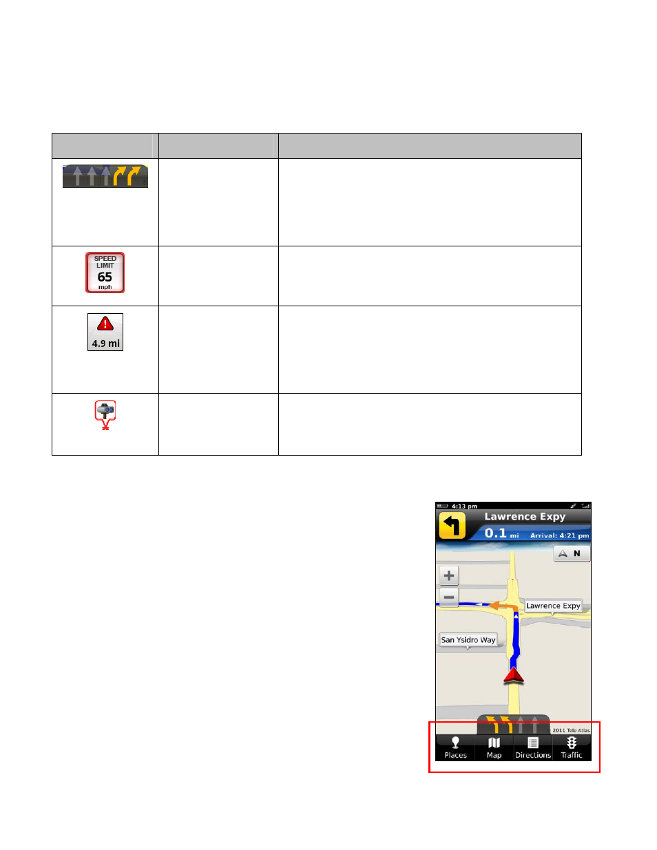
Navigation Menu Options
Navigation options appear at the bottom of the navigation screen and are
described in the sections below.
When you arrive at your destination, Choose Menu >> Home to return to the
TeleNav GPS Navigator Main Menu, or simply press the Escape key.
© 2011 TeleNav, Inc.
Page 30 of 69