A brief tour of the world.wor workspace, Using the select tool, Using the statistics tool – Pitney Bowes MapInfo ProViewer User Manual
Page 18
Graph Select
Invert Selection
Open Tables or Workspace
Zoom Out
Print Window
Select
Info Tool
Zoom In
Change View
Show/Hide Legend
Grabber
Drag Map Window
Show/Hide Statistics
Ruler
Label
Radius Select
HotLink
Boundary Select
Unselect All
Marquee Select
Polygon Select
A Brief Tour of the World.wor Workspace
Use the WORLD.WOR workspace, installed with ProViewer, to review the map layers and experiment with
these icons to become familiar with their functionality. You can think of a workspace as a map with
transparencies stacked on top of it. Each layer contains data that pertains to the entire map. For example,
WORLD.WOR
includes the Ocean, the Countries, and the World Capitals layers.
The WORLD.WOR workspace is located under the Data/World subfolder where ProViewer is installed
(for example, C:\Program Files\MapInfo\ProViewer\Data\World\WORLD.WOR).
Using the Select Tool
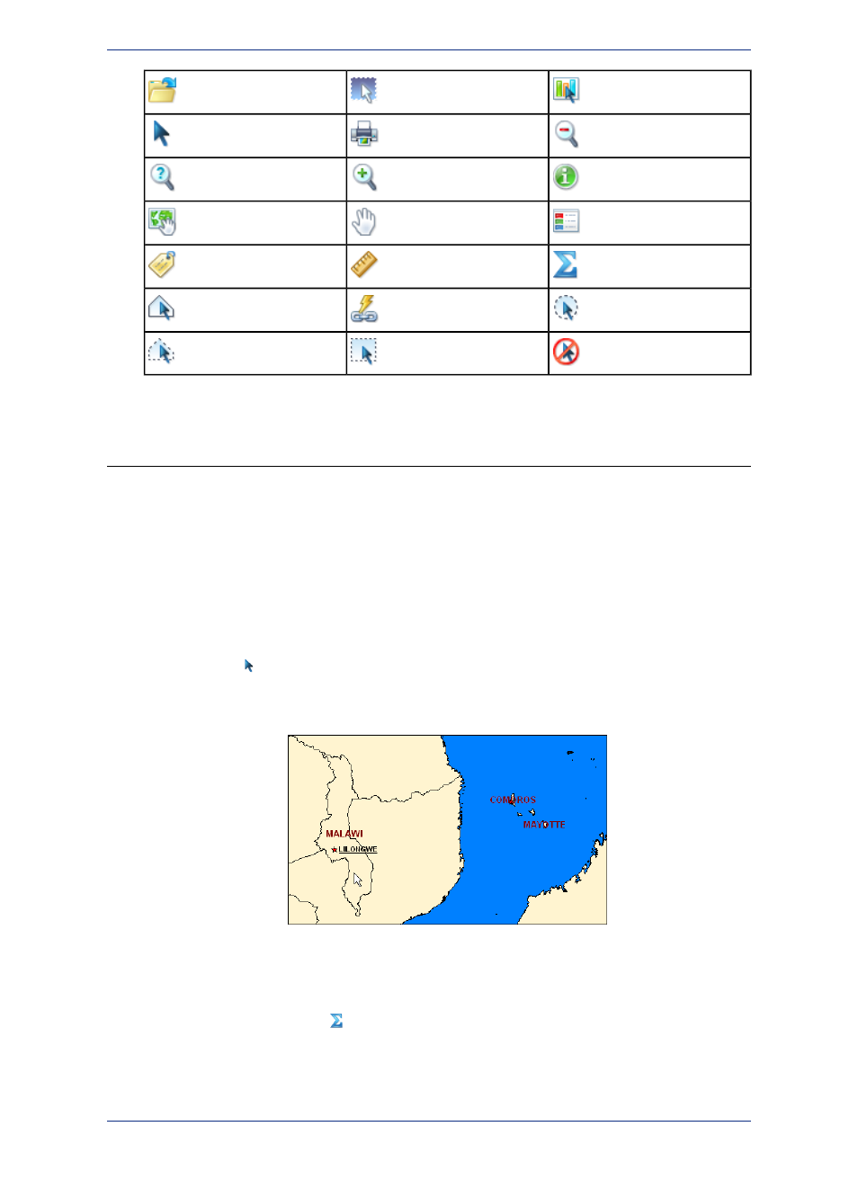
Click the Select
tool and then position the cursor over any region to display the name of the region.
There are several selection icons that allow you to select map features and group regions for display.
See the Help System for more about the specific properties of each tool.
Using the Statistics Tool
Click the Show/Hide Statistics
tool to display more about a selected country in the Statistics window.
MapInfo ProViewer 12.5
18
A Brief Tour of the World.wor Workspace