Navionics chart options – B&G Zeus Touch 12 User Manual
Page 21
20 |
Charts |
Zeus Touch Operator Manual
Chart detail
Low
This is the basic level of information that cannot be removed, and includes information that is
required in all geographic areas. It is not intended to be sufficient for safe navigation
Medium
This is the minimum information sufficient for navigation
Full
This is all available information for the chart in use
Categories
Insight charts includes several categories and sub-categories that you can turn on/off
individually depending on which information you want to see on your display.
Navionics chart options
Chart orientation and Look ahead
See page 16.
3D
See page 20, 3D Charts.
Community layer
Community Layer enables the display on the chart of user-generated information and edits
that have been uploaded to Navionics Community and made available in Navionics charts.
For more information refer to the Navionics information included with your chart, or to
Navionics website: www.navionics.com/product/water/plotter-charts.
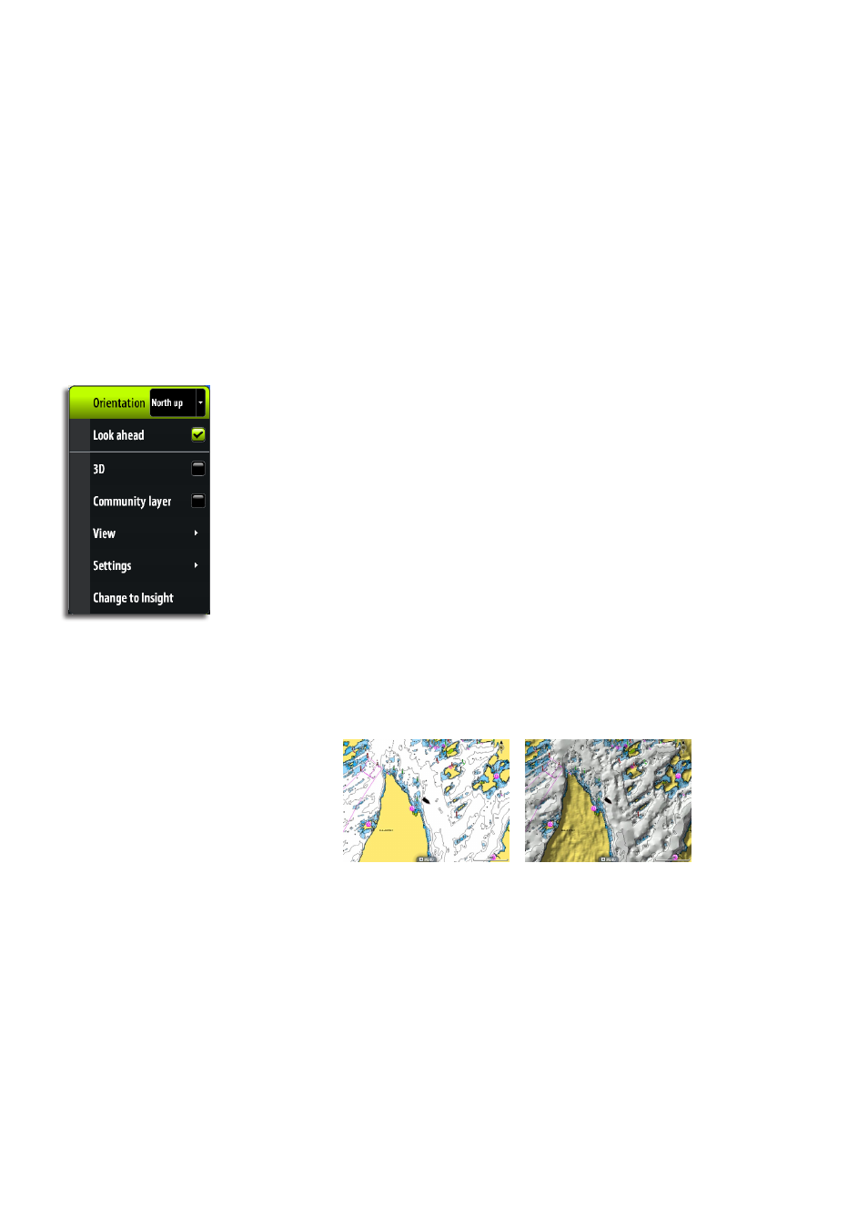
Chart view
Chart shading
Shading adds terrain information to the chart.
Traditional 2D chart
Chart with shading