B&G Zeus 12 User Manual
Page 25
24
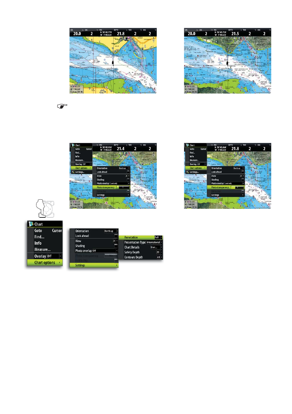
The Photo overlay function is disabled as you zoom out beyond a certain level.
Photo transparency
The transparency sets the opaqueness of the photo overlay.
Optional settings for Navionics charts
Annotation
Determines what area information is displayed, such as names of locations and notes of
areas.
Presentation type
Provides marine charting information such as symbols, colors of the navigation chart and
wording for either International or US presentation types.
Chart details
Provides you with different levels of geographical layer information.
Safety depth
The Navionics charts use different shades of blue to distinguish between shallow and
deep water.
The safety depth sets the limit for which depths that shall be drawn without this blue
shading.
MENU
WIN