17 using charts 4, The chart panel – B&G Zeus 12 User Manual
Page 18
17
Using Charts
4.
The Chart Panel
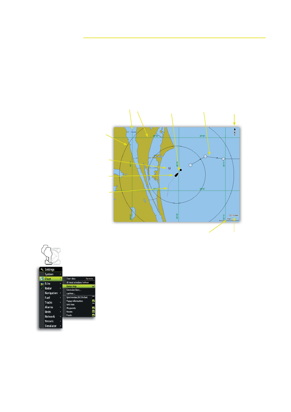
On the chart panel you can determine your vessel’s position in relation to land. You can
use the chart display for planning routes and sailing along a predefined route.
The chart function can also display your vessel’s position relative to other chart objects,
plan and navigate routes, create waypoints, overlay a radar image and display AIS
targets and weather information.
* Optional chart image items
You turn the optional images on/off individually.
MENU
WIN
x2
GRID LINES *
EXTENSION
LINE *
RANGE
RINGS *
TRACK *
ROUTE *
VESSEL
CHART RANGE
RANGE
SCALE
NORTH
INDICATOR
WAYPOINT *
This manual is related to the following products: