Telenav for Nextel Supported Devices: v2.2 for Motorola i730 User Manual
Page 17
© TELENAV 2003-5
PAGE 17 OF 41
Select End Track when you are ready to stop recording. The initial time interval for the recording is set
under Preferences. There is a maximum of 60 entries in the track list, and if you attempt to record
more, the interval is automatically doubled in time, and half the previous data (alternating points) is
discarded.
GPS Plus
GPS Plus is the lower tier of paid subscription TeleNav services. You must have subscribed or be
using a promotional free trial to be able to access these services. The submenu for these services
allows you to select maps, a suite of location services, and driving directions.
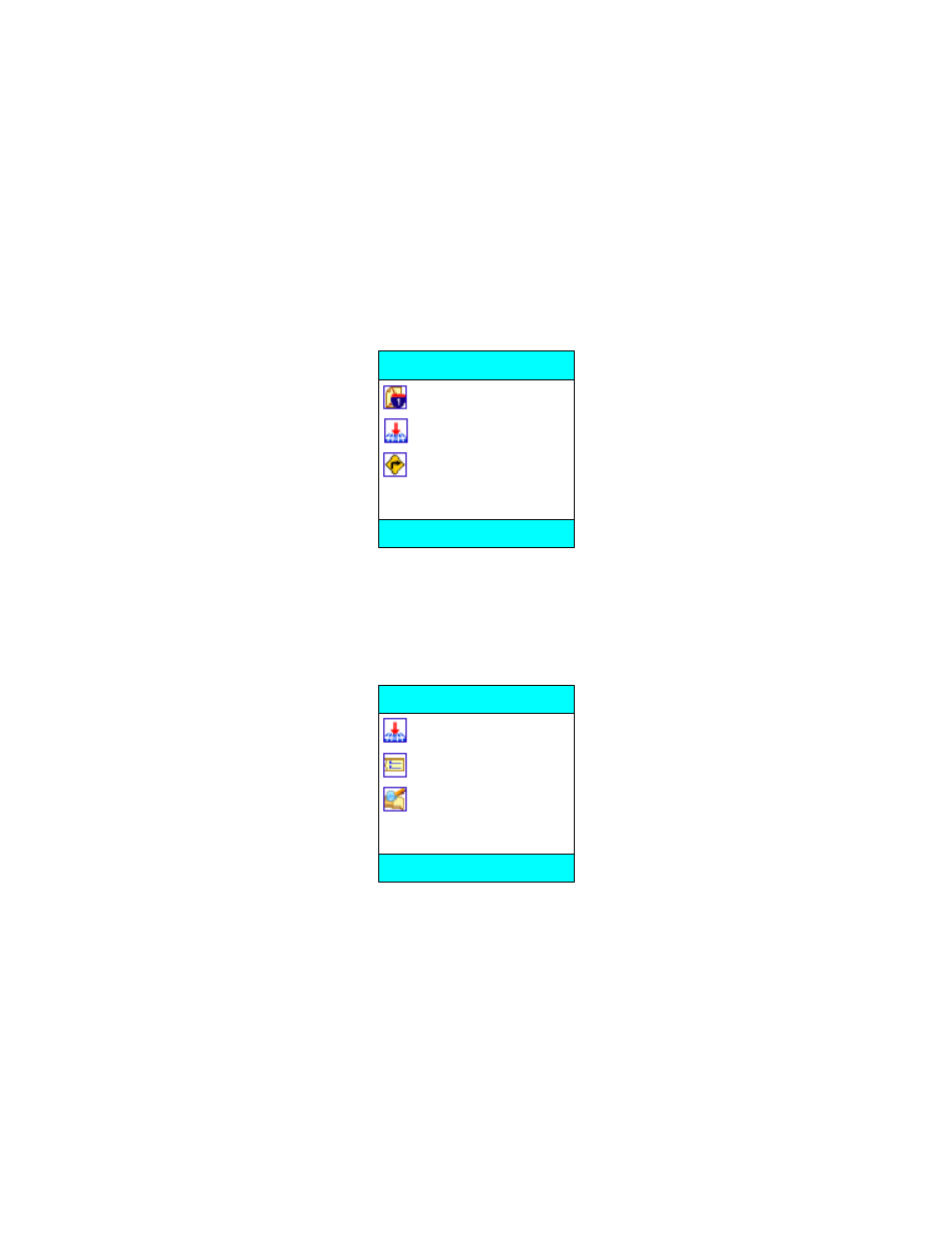
Maps
Locator
Directions
GPS Plus
BACK OK
Maps
If you select the Maps option and have not subscribed to GPS Plus services, you will be advised that
you need to sign up for this tier of services at the TeleNav website. If you are a subscriber, you will get
the map location menu:
Current location
Enter address
Waypoints
Select map location
BACK OK
If you choose Current location, there will be brief activity while TeleNav employs GPS to determine
your location, followed by a transaction with the TeleNav server to retrieve the data needed to draw the
map.
If you choose Enter address, you will be presented with a screen labeled Map location that allows
you to enter a new address, refresh the list, or pick a recently used address from the list. Address entry
is described later in its own section of this guide. After you have entered an address and it is validated
by the TeleNav server, the data needed to draw the map will be sent to your phone.
If you choose Waypoints, you will be provided with a list of waypoints you have previously marked.
You select the one you want, and the coordinates are sent to the server to that it can reply with the data
needed to draw the map.