Using additional map data – Garmin GPSMAP 3005C User Manual
Page 17
GPSMAP 3005C Owner’s Manual
b
AsIc
o
PerAtIon
>
u
sIng
the
gPsMAP 3005c
To select an optional feature:
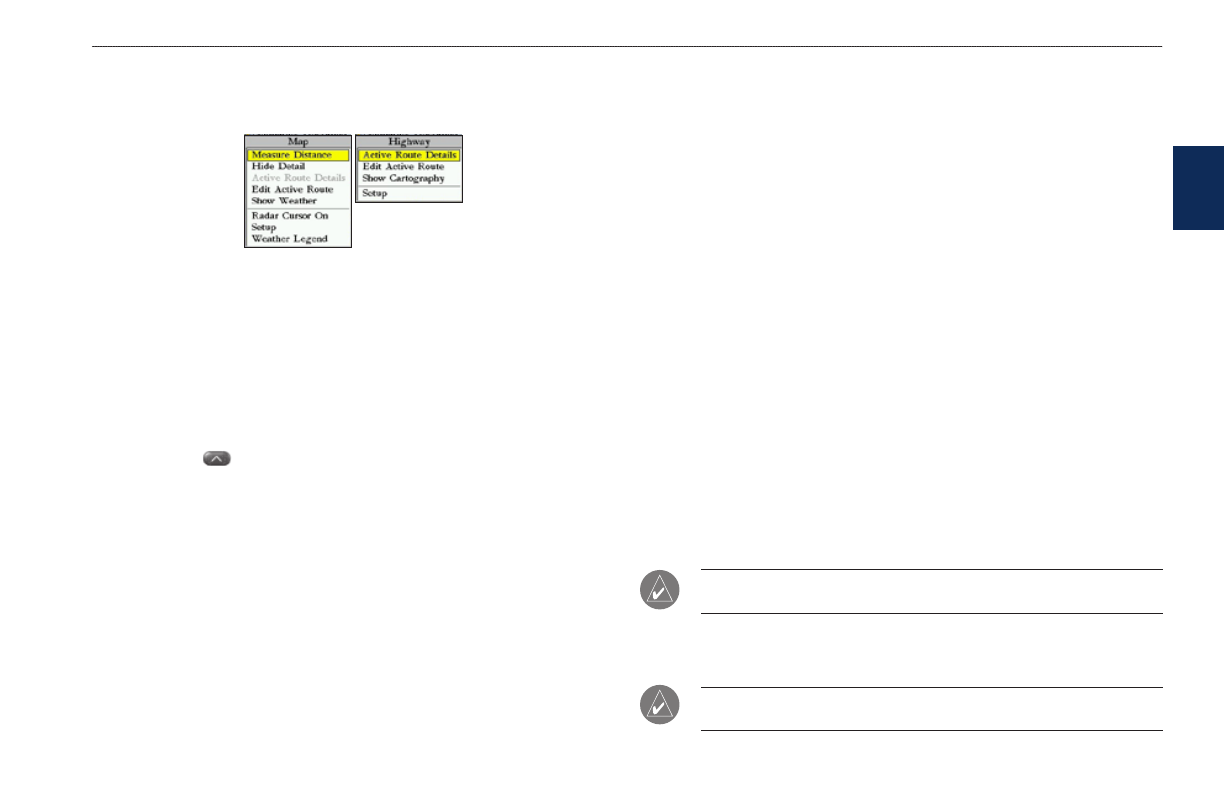
1. From any page, press
ADJ/MENU. The adjustment menu shows a list of
optional features specific to that page.
2. Use the
ROCKER to move the highlight up, down, left, or right to the
selection you want, and press
ENTER to select the option.
OR
Press the soft key below the option you want to select.
To select an on-screen button:
On a page with on-screen buttons, use the
ROCKER to highlight an
on-screen button, and press
ENTER.
To select an option using soft keys:
Press the
button below the soft key you want to select.
To exit a menu or return to the previous setting:
Press
QUIT. The QUIT key moves backward through your steps. Press
QUIT repeatedly to return to the starting page.
To enter data in a data field:
1. Use the
ROCKER to highlight the data field, and press ENTER to edit it.
2. Press up or down on the
ROCKER to select characters. Press and release
the
ROCKER to move character by character through the list; press and
hold the
ROCKER to move rapidly through the list.
3. Press right on the
ROCKER to move to the next character on the line
or press left to move back to the previous character. Press left on the
ROCKER from the first character position to clear the field. If there are
more than two lines of data, keep pressing right on the
ROCKER to go to
the next line.
4. Press
ENTER to accept data and move to the next field.
Not all data fields are programmable.and the highlight skips them.
Using Additional Map Data
The GPSMAP 3005C comes standard with a built-in basemap showing cities,
interstates, coastline detail, and U.S. Tide Stations. Optional preprogrammed
Garmin data cards and MapSource CD-ROMs enhance the versatility of your
GPSMAP 3005C. With optional BlueChart cartography, you can access marine
navaids, wrecks, obstructions, anchorage locations, shaded depth contours,
intertidal zones, spot soundings, port plans, and more.
The GPSMAP 3005C supports Garmin’s BlueChart
®
g2 technology. This
cartography features integrated mapping, 2-D or 3-D map perspective, tide and
current data, improved IALA symbols, navaids, marinas, boat ramps, roads, and
more. You can also access additional data including highly detailed coastal roads
and points of interest such as restaurants, lodging, and local attractions. Full-color
aerial photographs of ports, marinas, bridges, and navigational landmarks are also
included on many preprogrammed BlueChart g2 data cards.
NOTE: Preprogrammed BlueChart g2 data cards are compatible only with
software version 3.0 or later.
See your Garmin dealer or visit the Garmin Web site (
) for more
information on preprogrammed Garmin data cards and MapSource programs.
NOTE: When networking with a Garmin GPSMAP 4000 or 5000 series unit,
map data is not shared.
b
as
Ic
o
pera
tI
on