Raymarine A65 User Manual
Page 13
Chapter 1: Using the Display
13
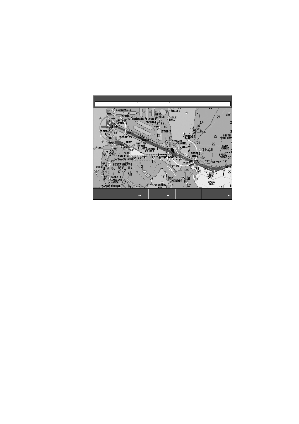
Using the chartplotter you can carry out such functions as:
• Monitor the course of your vessel on the chart as you travel to a destination
• View detailed cartographic information including ports and tides (if available)
• Place, display and edit waypoints
• Navigate to a position using cursor position, waypoints and routes, manually
or using an autopilot (if installed)
• Set up a route that can be followed
12nm
North-Up
(Relative Motion)
Csr Pos
N 25°18.160 W 080°
19.397 250°T 0.67nm
D7931-3
FIND SHIP
FIND SHIP
GOTO
TRACKS
TRACKS
PRESENTATION
PRESENTATION
ROUTES
ROUTES
GOTO
See also other documents in the category Raymarine GPS receiver:
- RAYTHEON E32001 (13 pages)
- RAYCHART 420 (101 pages)
- L365 (83 pages)
- SR50 (48 pages)
- RS12 (50 pages)
- DSM300 (82 pages)
- NMEA Multiplexer (16 pages)
- Pathfinder (111 pages)
- Pathfinder Radar (244 pages)
- autopilot control unit (111 pages)
- VolvoPenta IPS Autopilot System DPU (16 pages)
- autopilot + ST4000+ (145 pages)
- stand-alone master instrument (45 pages)
- ST80 (15 pages)
- Raystar 125 (8 pages)
- RS12 (38 pages)
- ST6001 (48 pages)
- Pathfinder Radar Scanners (66 pages)
- Chartplotter (101 pages)
- Heading Sensor (24 pages)
- Ray430 (54 pages)
- Viewable Marine Displays (38 pages)
- Marine GPS System (188 pages)
- C Series (244 pages)
- ST8001 (48 pages)
- hsb2 PLUS Series (246 pages)
- 631 PLUS (170 pages)
- navigation system (17 pages)
- ST8002 (48 pages)
- PowerPilot (18 pages)
- ST7002 (52 pages)
- GPS Kit (24 pages)
- 465 (107 pages)
- Ray54E (116 pages)
- GPS Plotter (131 pages)
- GPS navigation (75 pages)
- ST7001 (48 pages)
- 300 (136 pages)
- Raystar 120 (30 pages)
- autopilot (137 pages)
- DSM30 (34 pages)
- Platinum Chart Card (29 pages)
- ST6002 (56 pages)
- 320 (139 pages)