Furuno CI-68 User Manual
Page 28
2. INTERPRETING THE DISPLAYS
2-8
Description of graph display indications (con’t from previous page)
Item Description
Water temperature graph
The water temperature graph may be turned on or off with TEMP
GRAPH in the DISP1 menu.
Mode marker
The mode marker shows by color which tracking mode is in use.
Green:
Ground tracking mode
Blue:
Water tracking mode, nav mode
Background:
Ship’s speed error
Depth graph
The depth graph displays depth data in graph form. If, in the water
tracking mode, the depth is greater than the depth range no depth
data is displayed. To graph depth from an external source, set DEPTH
SOURCE in the OTHER menu (sub menu in the installation menu) to
EXTERNAL.
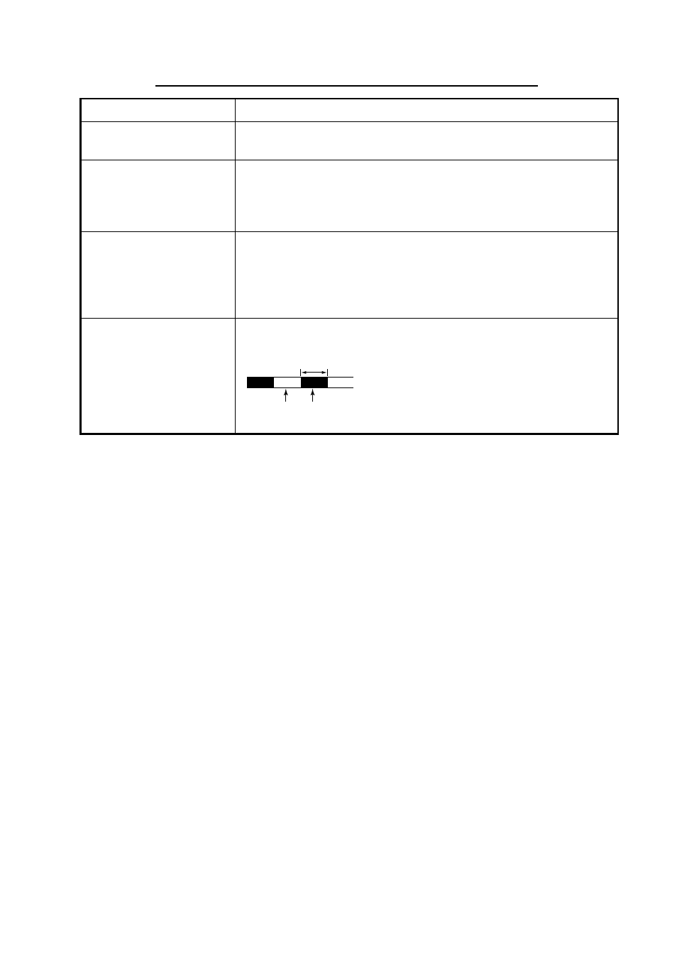
Trip distance marker
The trip distance marker shows trip distance in one-mile increments,
in green and background color alternately as shown below.
Green
Background
color
1 mile
- FAR-2805 Series (169 pages)
- FR-8062 (2 pages)
- FR-8122 (56 pages)
- CH-37 (90 pages)
- CH-37 (71 pages)
- FAR-2XX7 (4 pages)
- FAR-2XX7 (2 pages)
- FELCOM16 (4 pages)
- FRS-1000B (8 pages)
- FRS1000 (8 pages)
- Ls4100 (48 pages)
- 520 (73 pages)
- Marine Radar (24 pages)
- 1944C-BB (233 pages)
- 1733C (260 pages)
- FR-2105 (197 pages)
- FMD-8010 (50 pages)
- GD-1900C (260 pages)
- Black Box Video Sounder FCV-1200BB (2 pages)
- FR-1505 MARK-3 (4 pages)
- 1762 (252 pages)
- NAVnet DRS12A (44 pages)
- FAR-2137S (8 pages)
- FAR-2127 (136 pages)
- FA30 (6 pages)
- Satellite Compass SC-50/110 (30 pages)
- 1715 (2 pages)
- 1715 (48 pages)
- 1734C (55 pages)
- GD-1720C (53 pages)
- Mu 120c (2 pages)
- NAVNET GD-1920C (239 pages)
- CI-80 (41 pages)
- FAR-28x7 Series (299 pages)
- FAR-2837S (8 pages)
- BBWX1 (2 pages)
- 851 MARK-2 (37 pages)
- 851 MARK-2 (47 pages)
- BBFF3 (1 page)
- CSH-53 (106 pages)
- CSH-53 (108 pages)
- FCV295 (53 pages)
- FR1500 Mk3 (79 pages)
- FI-50 Series (2 pages)
- FCV-1150 (32 pages)