Visual obstructions within the satellite arc – Comtech EF Data MIDAS Site Survey Report User Manual
Page 33
Site Survey Report, Operator’s Guide, Rev.1
Satellite Accessibility 5-3
V
V
i
i
s
s
u
u
a
a
l
l
O
O
b
b
s
s
t
t
r
r
u
u
c
c
t
t
i
i
o
o
n
n
s
s
w
w
i
i
t
t
h
h
i
i
n
n
t
t
h
h
e
e
S
S
a
a
t
t
e
e
l
l
l
l
i
i
t
t
e
e
A
A
r
r
c
c
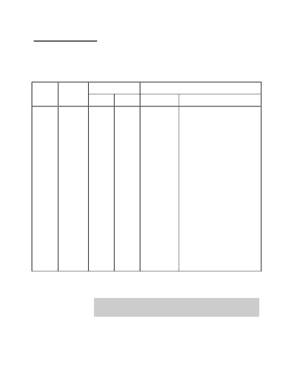
Antenna View
Objects Viewed
Survey
Location
Position
For
Satellite
@ Long
AZ (corr)
EL.
Distance
Description
_______
_______
_______
_______
_______
_______
_______
_______
________
West Limit
________
________
________
________
________
________
________
East Limit
_______
_______
_______
_______
_______
_______
_______
_______
_______
_______
_______
_______
_______
_______
_______
_______
_______
_______
____________
____________
____________
____________
____________
____________
____________
____________
____________
____________________________
____________________________
____________________________
____________________________
____________________________
____________________________
____________________________
____________________________
_____________________________
* ADD PHOTOS FOR SATELLITE LINE OF SIGHT.
NOTE: Add comments for the whole ±90º from foundation North-South Center Line
(East Limit - West Limit). If obstruction exists, specify Satellite Long, AZ (as measured)
& EL. and provide photo.