Using the cursor (the selected map location) – Univex TRAX353 User Manual
Page 32
Page 32
How Do I Use It?
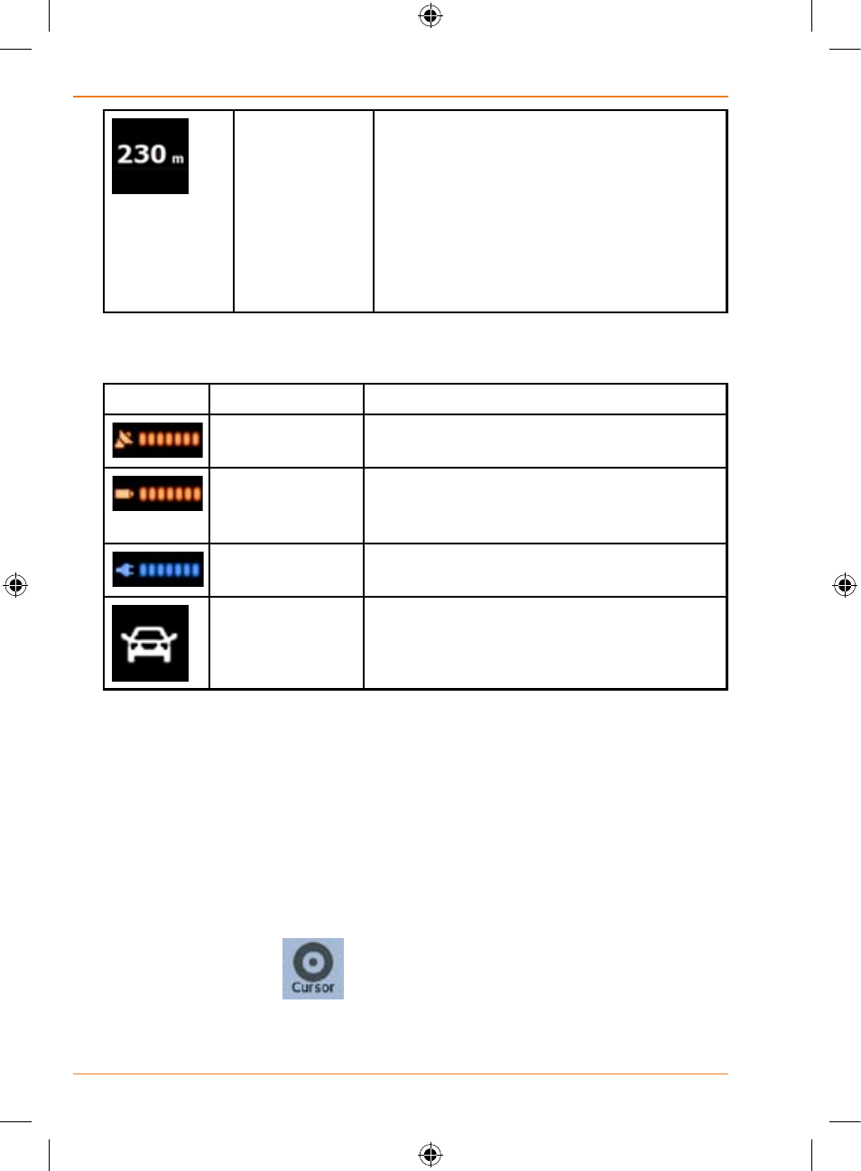
Distance
information
There are distance type values that can
be shown:
• Distance remaining to reach the
destination
• Distance remaining to reach the next
via point
• Current altitude
The next area is a combined status field. Tap this area to open the Quick
menu (page 89).
Icon
Status for
More Information
GPS position
quality
The more lit bars, the better is the GPS
position.
Battery status
The device is running on battery power.
The number of lit bars represent the
remaining capacity.
The battery is
being charged
The device is running on external power.
The battery is being charged.
Vehicle type
The symbol displays the vehicle type
used for route calculation.
Using the Cursor (the selected map location)
First, place the Cursor at the desired map location with one of the following
options:
• Use the Find menu to select a location. The map returns with
the selected point (the Cursor) in the middle, and the Cursor
menu appears with the available options.
• Tap the screen and tap again to place the Cursor at the desired
location. Now tap
to open the Cursor menu.
You can perform the following actions: