AvMap A2 ADAHRS User Manual
Page 6
6
- User and Installation Manual
AvMap
A
2
ADAHRS
User and Installation Manual -
7
AvMap
A
2
ADAHRS
• Altimeter and terrain awareness: the altimeter tape includes a TAWS (Terrain Awareness
Warning System) bar and terrain depiction (In red).
Note: See AvMap EKP V User manual for more details on the TAWS feature.
• HSI Source: if no valid magnetic compass data is available (i.e. compass not yet calibrated),
the HSI display is based on GPS “Course over Ground” and the HSI source flag shows “GPS”.
When correct compass data is available the source indicator changes to “AHRS” and proper
magnetic heading is used to drive the instrument.
PFD settings
The PFD settings menu can be selected by pushing on the joystick when the unit is in Primary
Flight Display mode. The menu includes the following items:
• BARO: set the current pressure reference for the altimeter
• Heading (HDG) Ref Mode: selects the heading reference to be used. Possible options:
• Navigation: reference value is the course to the next waypoint (according to the active
flightplan or GOTO)
• Manual: show a heading value set by the pilot
• Off: disable heading reference
• HDG Ref: set the manual heading reference
• Setup data fields: allow the user to customize
the datafields shown on the PFD.
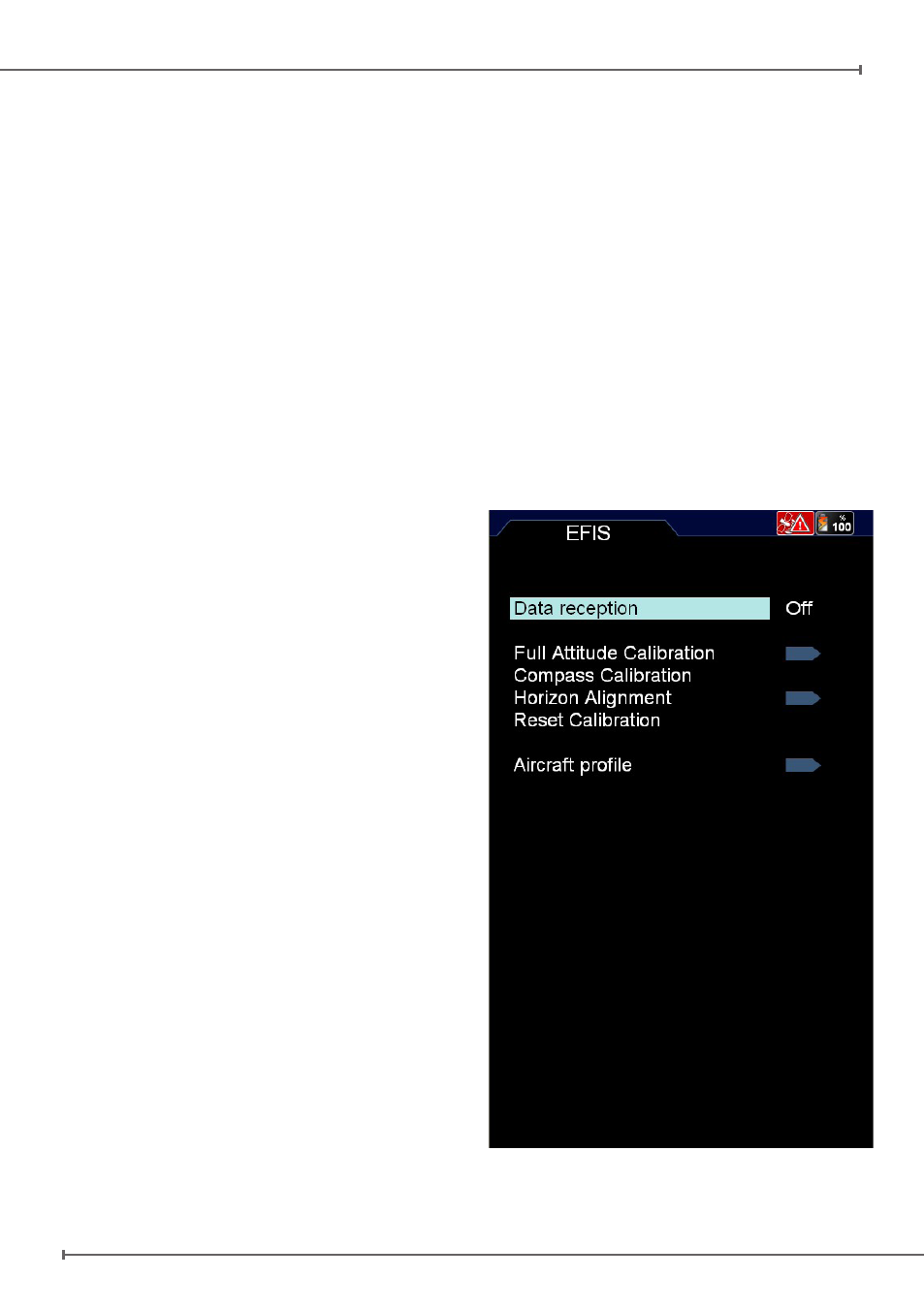
EFIS Menu
The EFIS menu is located in MENU > TOOLS
> EFIS. The EFIS menu contains all options
related to the EFIS system configuration and
calibration.
Data Reception: (on/off) enable or disable the
A2 module
Full Attitude
Calibration,
Compass
Calibration, Horizon Alignment: see Chapter
4. System Calibration.
Reset Calibration Data: reset all A2 calibration
data to factory defaults.
Aircraft Profile: allows to set aircraft-specific
reference values. Refer to the aircraft operating
manual to find the correct values.
Figure 2