Viewing navigation system version information -10, Basic operation -10 – NISSAN 2011 Pathfinder User Manual
Page 152
Contents of GPS information
&
1
Calculation:
Displays the GPS positioning method.
3-dimension
Calculating the latitude, longitude
and altitude by four or more satellites.
2-dimension
Calculating the latitude, longitude
and altitude by three or more satel-
lites.
Out of range Cannot calculate because no GPS
satellites can be located.
&
2
Latitude/Longitude:
Displays the latitude/longitude.
&
3
Approx Altitude:
Displays the approximate altitude.
&
4
Positioning status:
(green)
It indicates that satellites are
available.
(gray)
It indicates that satellites are
being searched for.
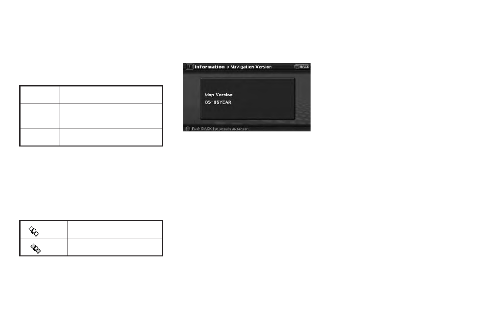
This allows you to display the map version
information.
BASIC OPERATION
1. Push
2. Highlight [Navigation Version] and push
3. Push
screen. Push
VIEWING NAVIGATION SYSTEM
VERSION INFORMATION
7-10
Viewing technical information