Orbital Landsat 8 User Manual
Landsat 8, Mission description, Spacecraft
Mission Description
Landsat 8 is a joint mission formulated, implemented, and operated by the National Aeronautics and
Space Administration (NASA) and the Department of Interior (DOI) United States Geological Survey
(USGS) that builds upon previous Landsat missions. Landsat 8 is a remote sensing satellite mission
providing coverage of the Earth’s land surfaces, collecting multi-spectral land images, including
infrared. Landsat 8 continues the more than 40 years of global data collection and distribution of the
Earth’s continental surfaces by the Landsat series of satellites to support global change research and
applications. This data constitutes the longest continuous record of the Earth’s surface as seen from
space.
Spacecraft
Orbital was responsible for the design and manufacture of the Landsat 8 spacecraft bus, the integration
of the customer-furnished payload instruments, and full observatory testing, including environmental
and EMI/EMC. To meet the performance and schedule challenges, a simple, robust design was utilized
based on Orbital's flight-proven LEOStar-3 standard bus. This ensures that Landsat 8 will continue the
Landsat heritage, obtaining unique and valuable data and imagery to be used in agriculture, education,
business, science, and government.
• Landsat 8 provides data continuity
following Landsat 5 and 7
• 705 km Low Earth Orbit mission
• Simple, easily integrated design based
on Orbital's flight-proven LEOStar
™
-3
standard modular spacecraft
architecture that reduces assembly
and test cycle times
• Moving mechanisms were eliminated
to improve reliability, simplify
operations, and ensure service to the
international cooperators
• Landsat data products are available
for free to the general public from
the USGS, enabling a broad scope
of scientific research and land
management applications. Go to:
http://landsat.usgs.gov/index.php
Customer:
NASA Goddard Space Flight Center
FACTS AT A GLANCE
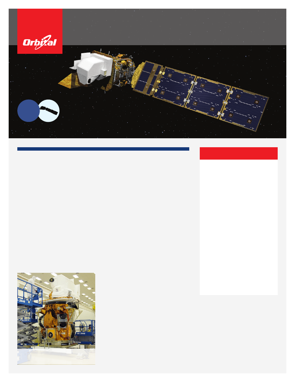
Scientific instruments being integrated with
the Landsat 8 satellite bus in Gilbert, Arizona
Landsat 8
Continuing the Landsat Mission
LEO
Earth Science/
Remote Sensing