Map detail category selection – Lowrance electronic Lowrance iFINDER H2O C User Manual
Page 85
77
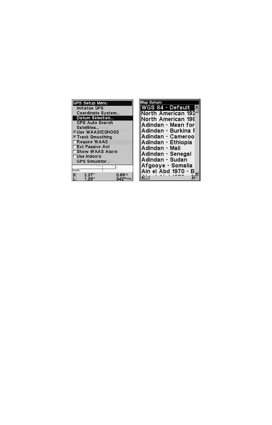
Datums can be selected only in Advanced Mode. (Switch from Easy to
Advanced:
MENU
|
↓ to
A
DVANCED
M
ODE
|
ENT
|
←|
ENT
).
To change the datum:
1. Press
MENU
|
MENU
|
↓ to
GPS S
ETUP
|
ENT
|
↓ to
D
ATUM
S
ELECTION
|
ENT
.
2. Scroll
↓ or ↑ to select the desired datum, then press
ENT
.
3. To return to the main page display, press
EXIT
|
EXIT
.
A list of datums supported by this unit is in the back of this manual.
GPS Setup Menu (left) with Map Datum Menu (right).
Map Detail Category Selection
This menu determines which of the mapping features are shown on the
screen. This includes waypoints, trails, icons, cities, highways, etc. You
can turn on or turn off any of these items, customizing the map to your
needs. Map Detail Categories may be turned on and turned off only in
Advanced Mode. (Switch from Easy to Advanced:
MENU
|
↓ to
A
DVANCED
M
ODE
|
ENT
|
←|
ENT
.)
To get to Map Categories Drawn:
1. Press
MENU
|
↓ to
M
AP
C
ATEGORIES
D
RAWN
|
ENT
.
2. Press
↑ or ↓ to select a category or subcategory. Press
ENT
to turn it
on (check) or turn it off (unchecked).
3. To return to the main page display, press
EXIT
|
EXIT
.