Garmin GPS 72H User Manual
Page 32
2
GPS 72H Owner’s Manual
Settings
Depth—set to show in feet, fathoms,
or meters. The GPS 72H must
be connected to a NMEA device
providing the DPT or DBT sentence.
For more information, see
.
Distance and Speed—set to
nautical, statute, or metric.
Temperature—set to Fahrenheit or
Celsius.
Direction Display—set to Numeric
Degrees, Cardinal Letters, or Mils.
This setting is used in all fields that
relate to direction.
Speed Filter—set to Auto or User
defined setting. If User is selected,
a Seconds field appears. To enter a
user-defined setting, highlight the
Seconds field, and press
ENTER
.
When finished, press
ENTER
to
save. When using a user-defined
setting, the GPS 72H averages
the speed and heading at the rate
specified in the time setting. To
change the time setting, go to
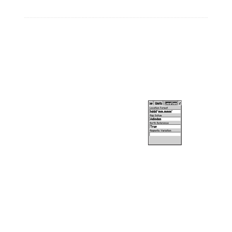
Location Tab
The Location tab contains the
settings for Location Format, Map
Datum, North Reference, and
Magnetic Variation. The settings are
used in fields throughout the device.
Location Tab Page
Location Format—allows you to
choose from 29 different formats.
Map Datum—describes geographic
positions for surveying, mapping,
and navigation, but are not actual
maps in the GPS 72H. There are over