Garmin nuvi 50LM User Manual
Page 17
nüvi 30/40/50 Owner’s Manual
13
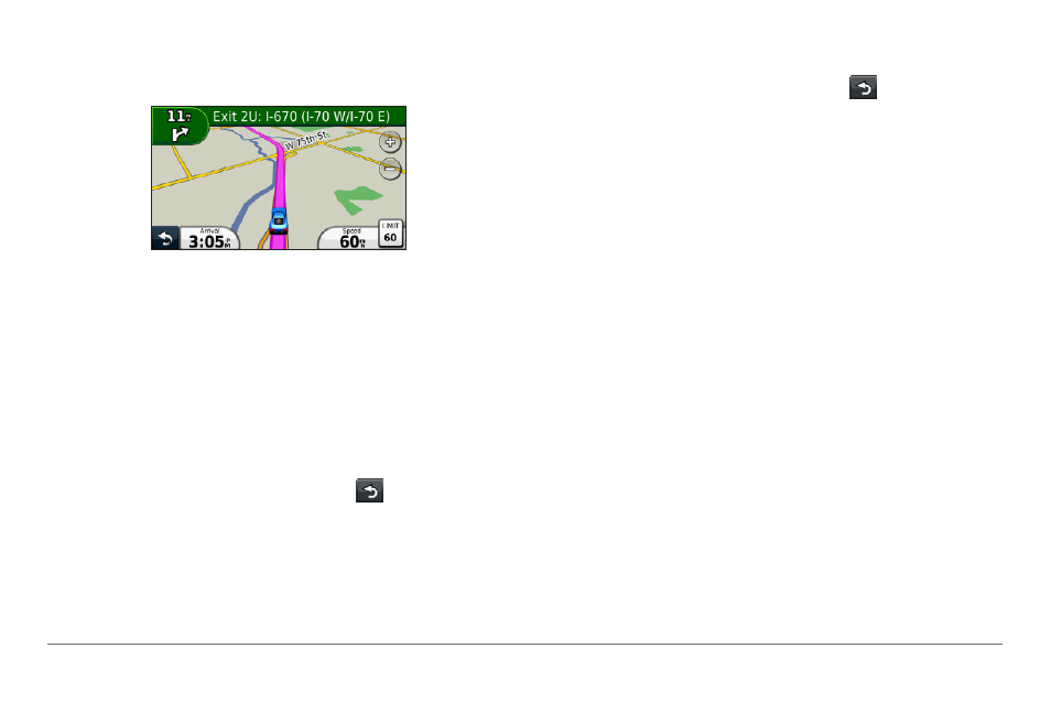
An icon displaying the current speed limit may
appear as you travel on major roadways.
Taking a Detour
While navigating a route, you can use detours to
avoid obstacles ahead of you, such as construction
zones.
NOTE: If the route you are currently taking is the only
reasonable option, the device might not calculate a
detour.
1
While navigating a route, select to return to
the main menu.
2
Select Detour.
Stopping the Route
While navigating a route, select > Stop.
Navigating Off Road
You can create straight-line routes that do not follow
roadways.
1
Select Settings > Navigation.
2
Select Route Preference > Off Road > OK.
The route will be calculated as a straight line to
the location.
Changing the Map Data Field
1
From the map, select a data field.
2
Select a type of data to display.
3
Select OK.
- nuvi 1490 (72 pages)
- eTrex Legend H (68 pages)
- eTrex Legend Cx (96 pages)
- Oregon 450 (52 pages)
- Oregon 450 (8 pages)
- GNS 430 (266 pages)
- GNS 430 (2 pages)
- GNS 430 (22 pages)
- GNS 430 (204 pages)
- Nuvi 265W (64 pages)
- nuvi 800 (76 pages)
- eTrex Legend (68 pages)
- GPSMAP 60CSx (116 pages)
- GPSMAP 60CSx (2 pages)
- Edge 800 (60 pages)
- Edge 800 (16 pages)
- Edge 500 (64 pages)
- Edge 500 (16 pages)
- GPS 12 (66 pages)
- GPSMAP 495 (179 pages)
- GPSMAP 196 (132 pages)
- GPS 190-01219-91 (36 pages)
- eTrex 190-00234-01 (2 pages)
- GPSMAP 7015 (132 pages)
- GPSMAP 190-00683-01 (2 pages)
- zumo 220LMT, Europe (58 pages)
- GPSMAP 7212 (2 pages)
- GPSMAP 76Cx (58 pages)
- 6000 (20 pages)
- GPSMAP 190-00683-00 (152 pages)
- Garmis GPS Smart Antenna GP35-HVS (41 pages)
- Zumo TM 500/550 (74 pages)
- 4010 (2 pages)
- 3000 (10 pages)
- GPSMAP 7215 (136 pages)
- GPSMAP 6208 (20 pages)
- GPSMAP 278 (138 pages)
- GPSMAP 278 (2 pages)
- zumo 450 (2 pages)
- zumo 450 (72 pages)
- ZUMO 400 EN (60 pages)
- 4000 Series (68 pages)
- ZUMO 65309R0 (6 pages)
- 398 (2 pages)
- GPSMAP 190-01155-02 (10 pages)