Cobra Electronics MC600Cx EN User Manual
Cobra Electronics GPS receiver
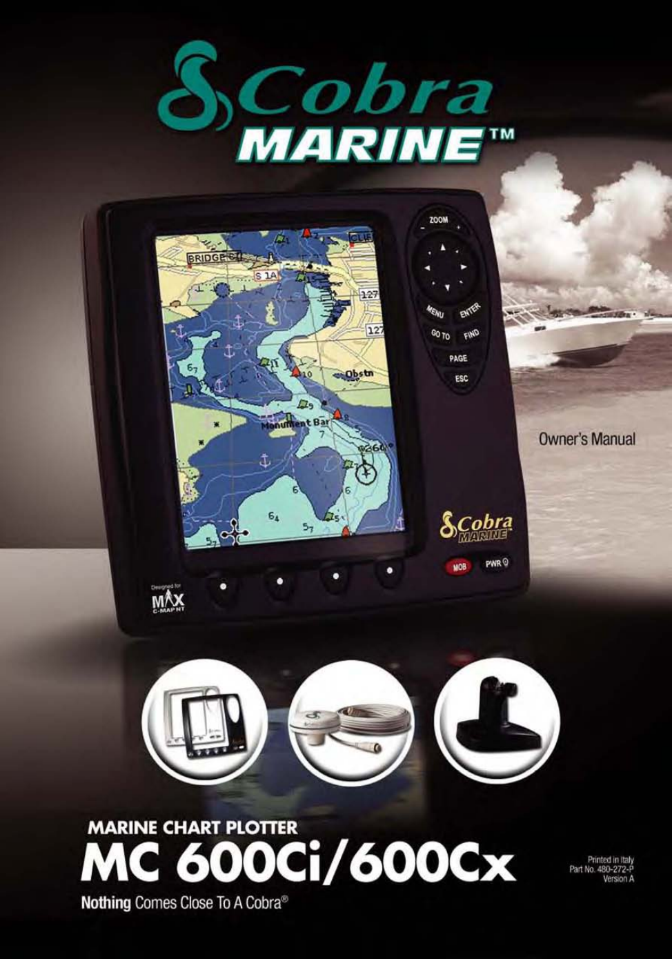
This manual is related to the following products:
Table of contents
Document Outline
- INTRODUCTION A1
- SOFTWARE BUTTONS FUNCTIONALITY A2
- SCREEN CLEANING PRECAUTIONS
- WHAT IS IN THE BOX?
- MC 600C Chart Details
- 1. MANUAL ORGANIZATION
- 1.1. TABLE OF CONTENTS
- 1.2. GENERAL OPERATION
- 1.2.1. Button Conventions Used
- 1.2.2. Menu Description
- 1.2.3. Selecting an option
- 1.2.4. Alphanumeric Input Procedure
- 2. BASIC OPERATION
- 2.1. SWITCHING ON/OFF
- 2.1.1 Switching On
- 2.1.2 Switching Off
- 2.1.3. Auto power On Description
- 2.2. INITIAL SETUP
- 2.2.1. Definitions of Selections
- 2.3. ADJUSTING THE BACKLIGHTING AND CONTRAST
- 2.4. PAGE SURFING
- 2.4.1. Pages selection
- 2.5. DEMO MODE
- 2.5.1. Full Demo
- 2.5.2. Demo a Route
- 2.5.3. Custom Demo
- 2.6. MOVING AND ZOOMING ON CHART
- 2.6.1. Pan
- 2.6.2. Zoom
- 2.6.3. Esc back to chart
- 2.7. CHANGING DATA FIELDS ON MOST PAGES
- 2.7.1. Number of Data Fields
- 2.7.2. Change Data Fields
- 2.7.3. Available Data Options
- 2.8. CREATING A USER POINT
- 2.8.1. Creating a New Waypoint
- 2.8.2. Creating a New Mark
- 2.9. CREATING A BASIC ROUTE
- 2.10. USING GOTO
- 2.11. USING FIND
- 2.12. USING MOB
- 2.12.1. Inserting MOB
- 2.12.2. Deleting MOB
- 3.1. PAGE SELECTION AND PRESETS - SETUP
- 3.2. WELCOME PAGE
- 3.2.1. Operations
- 3.3. CHART ONLY PAGE
- 3.3.1. Description
- 3.3.2. Operations
- 3.3.2.1. Available Layouts of CHART Page
- 3.3.2.2. Changing Data Options
- 3.3.2.3. Operations on User Points
- 3.3.2.4. Software Buttons
- 3.3.3. Menu
- 3.4. DATA PAGE
- 3.4.1. Description
- 3.4.2. Operations
- 3.4.2.1. Available Layouts of DATA Page
- 3.4.2.2. Changing Data Options
- 3.4.2.3. On Screen Instructions
- 3.4.3. Menu
- 3.5. HIGHWAY PAGE
- 3.5.1. Description
- 3.5.2. Operations
- 3.5.2.1. Available Layouts of HIGHWAY Page
- 3.5.2.2. ZOOM IN AND ZOOM OUT
- 3.5.3. Menu
- 3.6. SUN AND MOON PAGE
- 3.6.1. Description - "Telling" Tide
- 3.6.2. Operations
- 3.6.2.1. Available Layouts of SUN and MOON Page.
- 3.6.2.2. Finding the Nearest Tide Stations
- 3.6.2.3. Finding a Tide Station on a map
- 3.6.2.4. Changing the date for the Tide Chart
- 3.6.2.5. Various Animation Options
- 3.7. FISH FINDER PAGE
- 3.7.1. Description
- 3.7.1.1. Understanding the Fish Finder Echogram
- 3.7.2. Operations
- 3.7.2.1. Available Layouts of FISH FINDER Page
- 3.7.2.2. Changing Data Options
- 3.7.2.3. Split Mode of the FISH FINDER Page
- 3.7.3. Menu
- 3.8. COMBO MODE PAGE
- 3.8.1. Description
- 3.8.2. Operations
- 3.8.2.1. Moving the location of the Chart Window
- 3.8.2.2. Available Layouts of COMBO MODE Page
- 3.8.2.3 Changing Data Options
- 3.8.2.4. Changing the Size of Windows
- 3.8.3. Screen Control
- 3.9. SPLIT MODE PAGE
- 3.9.1. Description
- 3.9.1.1. Available Layouts of SLIT MODE Page
- 3.9.1.2. Changing Data Options
- 3.9.1.3. Changing the size of windows
- 3.9.1.4. Changing the Screen Control
- 3.9.2. Menu
- 3.9.2.1. CHART Page
- 3.9.2.2. HIGHWAY Page
- 3.9.2.3. FISH FINDER Page
- 3.10. GPS PAGE
- 3.10.1. Description
- 3.10.1.1. Changing Data Options
- 3.10.2. Menu
- 3.11. SYSTEM PAGE 48
- 3.11.1. Description
- 3.11.2. Each Setting Description
- 4. ADVANCED OPERATION
- 4.1. MEASURE FUNCTION
- 4.2. ADVANCED WAYPOINT OPERATIONS
- 4.2.1. Deleting a Waypoint
- 4.2.2. Moving a Waypoint
- 4.2.3. Inserting a Waypoint
- 4.2.4. Editing a Waypoint
- 4.3. ROUTE OPERATIONS
- 4.3.1. Selecting existing and Naming new Routes
- 4.3.2. Basic Route List Operations
- 4.4. USING TRACK
- 4.5. USER POINTS LIST
- 4.5.1. Selecting Existing and naming new User Points
- 4.5.2. Basic User Point List Operations
- 4.6. USER C-CARD OPERATIONS
- 4.6.1. User C-CARD Page
- 4.6.2. Formatting User C-CARD
- 4.6.3. Saving file on User C-CARD
- 4.6.4. Loading file from User C-CARD
- 4.6.5. Deleting file from User C-CARD
- 4.7. INFO
- 4.7.1. Setting Automatic Info
- 4.7.2. Selecting Automatic Info
- 4.7.3. Info on objects with Pictures
- 4.7.4. Info Tree and Expanded Info page
- 4.8. CURRENT PREDICTIONS
- 4.9. DYNAMIC NAV AIDS
- 4.10. PICTURES
- 4.11. DSC CALLING
- 4.11.1. Advanced DSC for VHF Radio with NMEA 0183 Output
- 4.11.2. Contact List
- 5.1. SCREEN SHOT AND DESCRIPTIONS
- 5.2. OPERATIONS BY SETTING GROUP
- 5.2.1. Display Settings
- 5.2.2. Chart Settings
- 5.2.2.1. Chart Presentation
- 5.2.2.2. Depth Presentation
- 5.2.2.3. Land Presentation
- 5.2.2.4. Advanced Chart Settings
- 5.2.3. General
- 5.2.4. Fish Finder Settings 67
- 5.2.4.1. Display Settings
- 5.2.4.2. Sensitivity Settings
- 5.2.4.3. Transducer Settings
- 5.2.5. Alarm Settings
- 5.2.5.1. General Alarms
- 5.2.5.2. GPS Alarms
- 5.2.5.3. Fish Alarms
- 5.2.6. Units 71
- 5.2.7. Pages On/Off 72
- 5.2.8. GPS Settings 72
- 5.2.9. Demo 73
- 5.2.9.1. Custom Demo
- 5.2.10. Com Settings 74
- 5.2.11. About
- 6.1. BASIC
- 6.1.1. Chartplotter Dimensions
- 6.1.2. C-CARD Inserting and Removing
- 6.1.3. Chartplotter Installation and Removing
- 6.1.4. Wiring and Connectors
- 6.2. ADVANCED
- 6.2.1. External NMEA Connection
- 6.2.2. GPS Connection (on MC 600Cx with External GPS)
- 6.2.3. Autopilot and Basic DSC VHF Connection
- 6.2.4. External Alarm Connection
- 6.2.5. Fish Finder
- 6.3. MOUNTING THE GPS ANTENNA (ONLY on MC 600Cx model)
- 6.3.1. Antenna Flush Mounting
- 7.1 SYSTEM TEST
- 8.1. PC-PLANNER
- 8.2. MF 2500 FISH FINDER
- 8.2.1. Transducers
- 9. APPENDIX
- 9.1. TERMS
- 9.2. GPS
- 9.2.1. How GPS Works
- 9.2.2. Position Fixing Accuracy: HDOP
- 9.3. WORLD CITY TIME ZONES