Lowrance electronic GlobalMap 100 User Manual
Globalmap 100
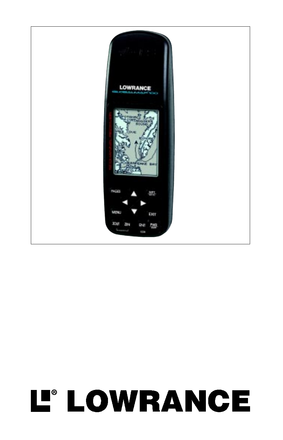
Table of contents
Document Outline
- DGPS - What is it?
- Don't Get Lost
- GETTING STARTED
- Power
- BATTERIES
- Battery Installation
- OPERATION
- Keyboard
- Menus
- Turning Power On
- Satellite Status Screen
- Finding Your Position
- Auto Search
- Manual Initialization
- Position Acquisition
- POSITION/NAVIGATION SCREENS
- Navigation Screens
- Course Deviation Indicator (CDI)
- Cursor
- Earth Map On/Off 14
- Save Trail
- Show Trail
- Place Icon - Present Position
- Place Icon - Cursor Position
- Icon Options
- WINDOWS
- Reprogram Boxes
- RESET GROUPS
- WAYPOINTS
- Waypoint Menu
- Saving Your Present Position as a Waypoint (Quick Save Method)
- Saving The Cursor Position as a Waypoint
- Saving Your Present Position as a Waypoint (Select Number Method)
- Selecting a Waypoint
- Waypoint Number
- Waypoint List
- Edit Name
- Edit Icon
- WAYPOINT NAVIGATION
- Navigating to a cursor location
- Navigating to a Waypoint using the Map
- OTHER WAYPOINT OPTIONS
- Move a Waypoint
- Delete a Waypoint
- Delete All Waypoints
- ROUTES
- Create a Route
- Delete a Waypoint
- Waypoint Statistics
- Following a Route
- Delete a Route
- CANCEL NAVIGATION
- Navigation Notes
- SYSTEM SETUP
- Units of Measure
- NMEA / DGPS
- NMEA Output
- Configure NMEA Output
- DGPS
- Serial Communication Setup
- Reset Options
- Reset Groups
- System Info
- GPS SETUP
- Position Format 48
- DATUM
- PCF (Position Correction Factor)
- POSITION PINNING
- ALARMS 52
- MESSAGES
- SUNRISE/SET MOONRISE/SET CALCULATOR
- SIMULATOR
- DEFINITION OF TERMS/ABBREVIATIONS